Awarded By Inman, 2019 & 2024
West Menlo Park Homes For Sale
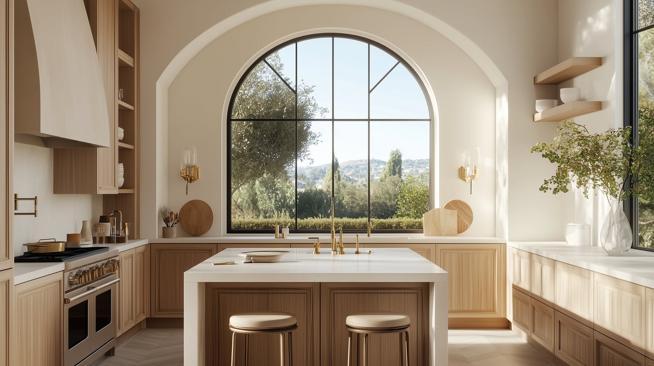
Discover luxury living with West Menlo Park, CA real estate listings
Tree-Lined Enclave with Spacious Homes and Top Peninsula Schools
Awarded By Inman, 2019 & 2024
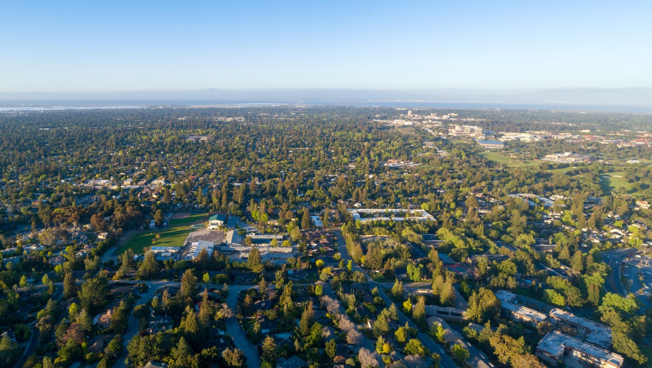
West Menlo Park real estate catches people off guard. Drive through and you might think you took a wrong turn into the country. No sidewalks. Oaks canopying the roads. Wide setbacks and lots big enough to forget you're in Silicon Valley. That rural feel is intentional, and it's exactly why buyers pay a premium to be here.
Most of the homes in West Menlo Park started as 1940s and 1950s ranch homes. Single-story, modest footprint, built on parcels that now look almost absurdly generous by Peninsula standards. A lot of those original ranchers have been torn down and replaced with larger two-story homes over the past 15 years. That trend is still going strong.
The lot sizes are the story. Standard parcels run 7,000 to 10,000 square feet. Closer to the Atherton border, you'll find estate-sized lots past 15,000. That's enough room for a pool, an ADU, serious landscaping. The kind of breathing room that barely exists anymore this close to Stanford.
Local Tip: Because West Menlo is unincorporated San Mateo County, building and zoning fall under county jurisdiction, not city. If you're planning a renovation or new build, make sure your architect knows the difference. County permitting is its own world.
You'll see original Eichler-era ranchers on the same block as new construction with floor-to-ceiling glass. A few well-preserved midcentury cottages still pop up. They don't last long on the market.
Schools are the headline. Las Lomitas Elementary and La Entrada Middle School sit in the top 1% of California schools. Both feed into Menlo-Atherton High School. Families also look at Sacred Heart Preparatory and Menlo School, both a short drive.
Holbrook-Palmer Park is the go-to for daily outdoor life. Twenty-two acres in Atherton with tennis courts, a duck pond, walking paths, and playgrounds. It's close enough to walk. The Stanford Dish trail and the foothills preserves are a quick drive west on Sand Hill Road for longer outings.
Santa Cruz Avenue in downtown Menlo Park handles the dining and errands:
For groceries, the Sharon Heights Shopping Center on Sand Hill Road has a Safeway and Woodside Bakery. Stanford Shopping Center is about 10 minutes by car.
Getting around is easy. Highway 280 is minutes west. Highway 101 is reachable via Willow Road or Sand Hill Road. Caltrain's Menlo Park station works for San Francisco-bound commuters.
Not technically. It's an unincorporated community under San Mateo County jurisdiction. You'll get a Menlo Park mailing address, but services and permits come from the county. The distinction mostly matters when you're building or remodeling.
Las Lomitas Elementary School District, which includes Las Lomitas Elementary and La Entrada Middle School. For high school, students go to Menlo-Atherton High in the Sequoia Union district.
West Menlo offers bigger lots and more of a rural feel. Felton Gables is a tighter, more historic pocket with strict zoning that limits teardowns. Sharon Heights is farther south toward the foothills, with condos and townhomes in the inventory alongside single-family homes. If space and top schools are your priority, West Menlo is where you look.
Original 1940s and 1950s ranch homes, heavily remodeled versions of those, and ground-up new construction. The lot sizes are the real differentiator. They're significantly larger than what you'll find in central Menlo Park.
Highway 280 connects north to San Francisco (about 30 miles) and south to San Jose (about 25 miles). Highway 101 is accessible via Willow Road or Sand Hill Road. Caltrain runs from the Menlo Park station for rail commuters.
3,382 people live in West Menlo Park, where the median age is 42.5 and the average individual income is $165,097. Data provided by the U.S. Census Bureau.
Total Population
Median Age
Population Density
Average individual Income
West Menlo Park has 1,222 households, with an average household size of 2.75. Data provided by the U.S. Census Bureau. Here’s what the people living in West Menlo Park do for work — and how long it takes them to get there. Data provided by the U.S. Census Bureau. 3,382 people call West Menlo Park home. The population density is 6,973 and the largest age group is Data provided by the U.S. Census Bureau.
Total Population
Population Density Population Density This is the number of people per square mile in a neighborhood.
Median Age
Men vs Women
Population by Age Group
0-9 Years
10-17 Years
18-24 Years
25-64 Years
65-74 Years
75+ Years
Education Level
Total Households
Average Household Size
Average individual Income
Households with Children
With Children:
Without Children:
Blue vs White Collar Workers
Blue Collar:
White Collar:
There's plenty to do around West Menlo Park, including shopping, dining, nightlife, parks, and more. Data provided by Walk Score and Yelp.
Explore popular things to do in the area, including Nuffer Fitness, Janel Halteh Fitness, and Bay Medical Systems.
| Name | Category | Distance | Reviews |
Ratings by
Yelp
|
|---|---|---|---|---|
| Active | 2.96 miles | 5 reviews | 5/5 stars | |
| Active | 4.25 miles | 14 reviews | 5/5 stars | |
| Beauty | 4.23 miles | 5 reviews | 5/5 stars | |
| Beauty | 3.27 miles | 5 reviews | 5/5 stars | |
| Beauty | 3.2 miles | 10 reviews | 5/5 stars | |
|
|
||||
|
|
||||
|
|
||||
|
|
||||
|
|
||||
|
|